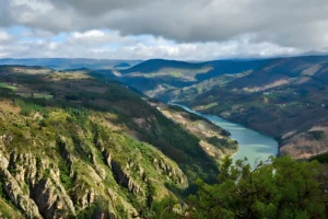
Most people arrive in Portomarín on foot, cross the bridge, eat something, sleep, and leave the next morning for Palas de Rei. Few of them know they have spent the night in the Ribeira Sacra. Portomarín is one of its 26 concellos, on the edge of the territory. The town itself has 396 registered residents.
A Town That Changes With the Reservoir
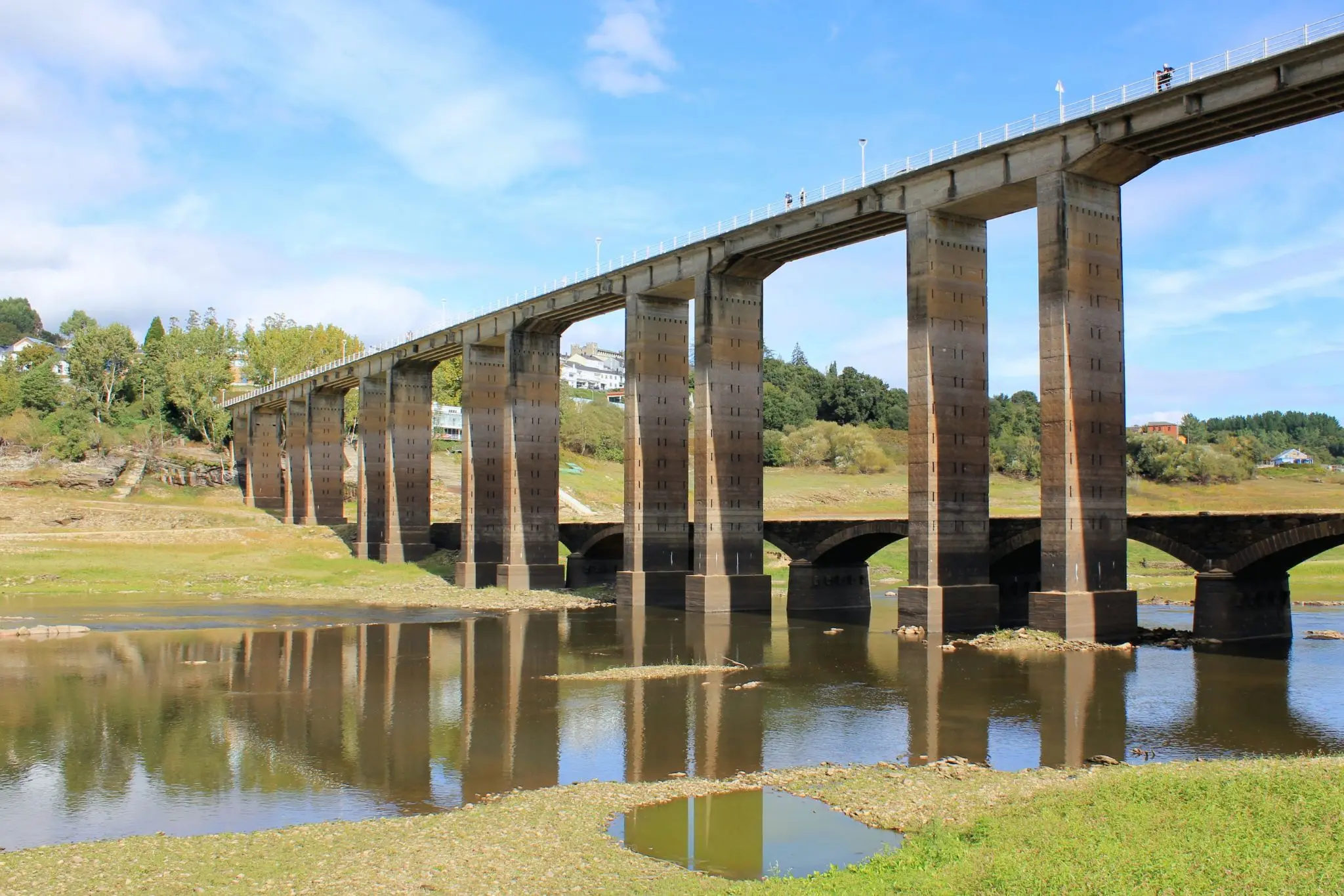
Portomarín sits above the Belesar reservoir, and the reservoir decides what you see. When it is full, the town looks down on a wide lake between wooded headlands, and the new bridge crosses open water. When the level drops, the valley floor comes back: exposed banks, the outlines of old fields, the river running thin between them. Ferreiroá comes back with it, a village drowned by Belesar whose stone walls stand clear of the water in dry months.
That is when the old bridge appears. Its stone arches surface beside and beneath the concrete piers of the new one, and when the water is very low you can walk across them. The first bridge here was Roman; it was destroyed in 1112 and rebuilt, so the arches that surface are medieval. Levels move through the year and from one year to the next, so check the live reading for Belesar before planning around them.
The Town on the Hill
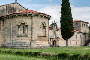
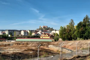
The old Portomarín stood down by the river. It was declared a Conjunto Histórico-Artístico in 1946, and in 1962–63, with Belesar about to flood it, the town was moved uphill to Monte do Cristo. Its main monuments went with it, dismantled and rebuilt stone by stone. The church of San Nicolás, built in the twelfth and thirteenth centuries, still shows the numbered ashlars of the move. We told the story of that method, and of the smaller churches that rehearsed it, in The Stones They Carried Uphill.
Not everything came up whole. Of the church of San Pedro, only the façade was moved; of the Pazo de Berbetoros, only its solana. The town on the hill is the old one in its original stone, but only a selection of it.
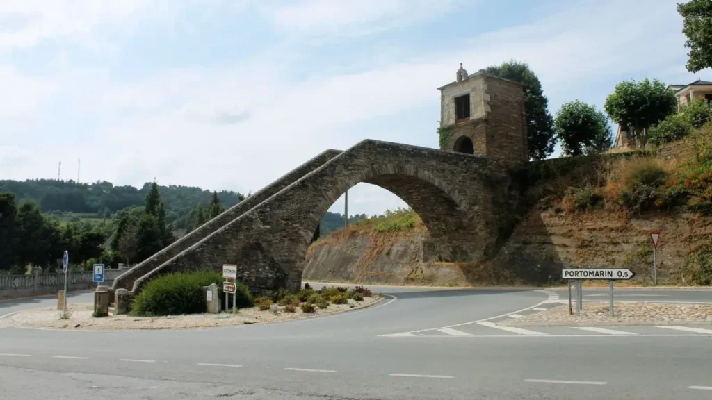
The Camino enters town over the Ponte Nova and climbs the granite stairway at its head to the Capela das Neves, once the chapel of the hospital of the Order of San Juan. The stairway was built using an arch of the old medieval bridge, the same bridge that surfaces beside the Ponte Nova when the level drops.
Eating, Drinking and Leaving the Arrow
The town’s own specialities are a tart and a spirit. The Tarta de Portomarín is an almond cake on puff pastry. Augardente is the pomace spirit distilled across Galicia, once the drink of the poor. In Portomarín it is distilled in the alquitara rather than the alembic, and the order that keeps the tradition takes its name from the still: the Orde da Alquitara, which invests its new members every Easter Sunday at the Festa da Augardente, held since 1971.
Portomarín is also where our North Bank birding drive begins, along the quieter side of the Miño. With a car and a free morning, it is the simplest way out of the stage and into the territory.
For a proper meal, the first table that comes to mind is in Paradela, the neighbouring concello. Río Loyo sits off the Camino, out of sight of anyone following the arrow, at Rua San Juan de Loyo. At weekends it still serves eel empanada, made now with eel brought from elsewhere because the river’s own have gone, a story we followed on the Camiño Vello de Aldosende. Phone ahead. Of all the people who sleep in Portomarín on a given night, very few will eat there, and the empanada is the reason to be one of them.
The medieval bridge resurfaces beneath the Ponte Nova when Belesar runs low — photo by P. Vanossi.
Stairway to the Capela das Neves, on a medieval bridge arch — photo by D. Ortega, edited with AI.