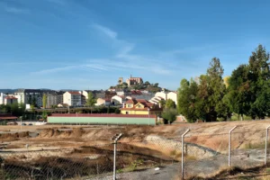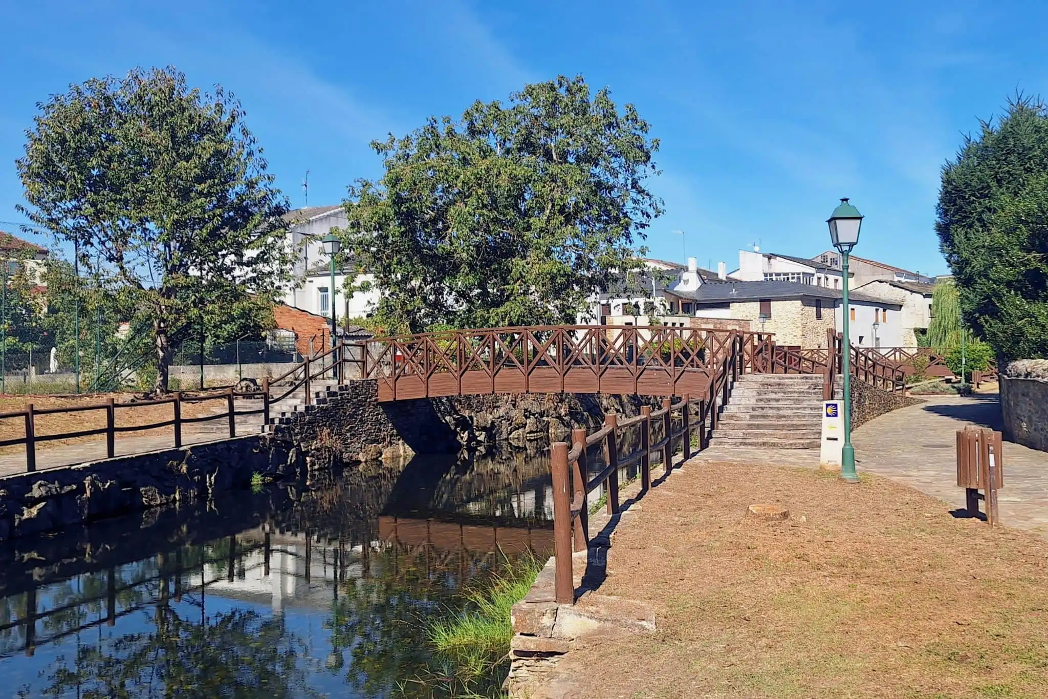
A Pobra do Brollón lies between Monforte de Lemos and the Courel, where the valley gives way to the mountains. The Saa runs through the centre, clear enough to count the stones on its bed, past a weeping willow and a wooden footbridge with a Camino de Invierno marker at its foot. At the southern edge of town it meets the Rubín in the Área recreativa de Samugueiros, where the town holds its events. The streets are well kept and rarely empty.
From the river the municipality climbs east into chestnut groves, old mines and the edge of the Courel, and reaches south, through a single parish, down to the Sil. Take it in that order: what you can walk to, what lies up in the hills, and the narrow strip where the mountain meets the vines.
Out Along the Camino
The Castro de San Lourenzo is an easy half-hour walk from the centre. Follow the Camino arrows out of town and come back through Cereixa to make a loop of it. It was built in the 1st and 2nd centuries, after the Roman conquest, to house the workers of the area’s gold mines, on a ridge above the Saa now covered in native oak. By the south rampart a mine mouth opens in the ground, the Agujero de los Mouros.
Iron in the Hills
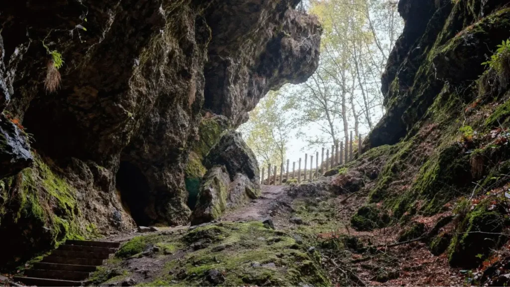
Gold explains the castro. Iron explains the hills. Cova das Choias is about twenty minutes from town by car, then a kilometre on foot, a walk worth doing for its own sake. The entrance is more than 30 metres high, the moss on its rock glows green, and a wooden barrier keeps you at the threshold. Behind it run three levels of passages and galleries cut for iron ore, worked heavily in the 16th and 17th centuries to feed the ironworks at Biduedo. The cave holds the largest known colony of cave bats in Galicia, and the choughs it is named after have come back.
The same forge took ore from A Veneira de Roques, a miners’ hamlet with galleries still running beneath its houses. The way to arrive is the waymarked PR-G 242, 6.2 km one way from the chapel of San Vitoiro, where the Lebrón stream drops through small pools under the trees, through Covadelas to the old workings. Above them rises Pena dos Catro Cabaleiros, where A Pobra, O Incio, Samos and O Courel meet; the name is said to come from the knights of the four territories who met there.
Salcedo and the Chestnut Country
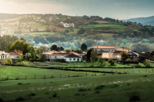
Salcedo sits among the chestnut groves that run toward the Courel, and most of the mountain side starts from its houses. The Ruta da Castaña e do Mel loops from the village into the grove of Paramedela, which the Miradoiro Pena dos Pasos overlooks with the Lor and the Courel behind. On the road from Domiz to Loureiro stand alvarizas, stone enclosures built high to keep bears off the hives. A 2 km dirt track leads from Salcedo to Penas do Castelo, on a rocky spur over the Lor valley. Radiocarbon dates it to the 9th or 8th century BC, and excavation has uncovered a stone wall up to six metres thick.
Salcedo’s Entroido is counted among the oldest carnivals in Galicia: the Oso, in sheepskin and a leather mask, goes out into the streets while his criados mark whoever they catch with ash and water, and one of its masks has hung in the carnival museum at Binche, in Belgium, since 2008. In autumn the chestnuts return as magostos, in Salcedo, Cereixa and Canedo.
Down to the Sil
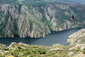
To the south, A Pobra do Brollón reaches the Sil through one parish, and the change is abrupt. Vilachá has about forty stone cellars under slate roofs, grouped together. The Feira do Viño fills them on the first weekend of May; the rest of the year the lanes are mostly empty, and the main reason to come is the A Capela viewpoint at the end of the village, over the terraces and the river.
Each summer, guided visits cover four of these places: San Lourenzo, Penas do Castelo, Cova das Choias and the Vilachá cellars. They are the only way inside the cave. Book by phone or WhatsApp on 623 469 474 at least a day ahead.
Where to Sleep and Eat
There are more beds than the size of the town suggests: a municipal albergue and two pensiones in the centre, the rural hotel A Salanova in Salcedo, an aldea rural at O Busto under Catro Cabaleiros, casas rurales across the parishes, and a free motorhome area by the football ground.
For lunch, O Fogón, in Cereixa, has been grilling beef and pork since 1973 and stamps Camino credentials at the bar. The arrows through Cereixa carry on toward Monforte, and after lunch there is no reason to follow them.
The Saa through A Pobra do Brollón; The entrance to Cova das Choias, Biduedo — photos by P. Vanossi.