~12.5 km linear · ~4.5 hours · moderate · Start: San Miguel de Rosende · End: Os Chancís
Most vineyard walks let you look at the landscape. The PR-G 86 makes you move through it — and finishes somewhere different from where it started, which matters more than it sounds.
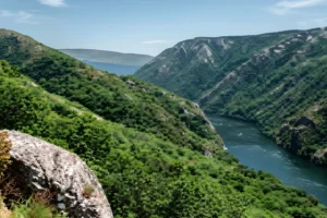
The route begins at San Miguel de Rosende, in the Sober municipality south of Monforte de Lemos, and traces the Cabe canyon — a Sil tributary — before descending along a smaller stream, the Xabrega, to the Os Chancís jetty on the Sil itself. Twelve kilometres on paper, around four hours of moving, with three hundred metres of climb absorbed by four hundred of descent. You don’t loop back; the geography won’t let you.
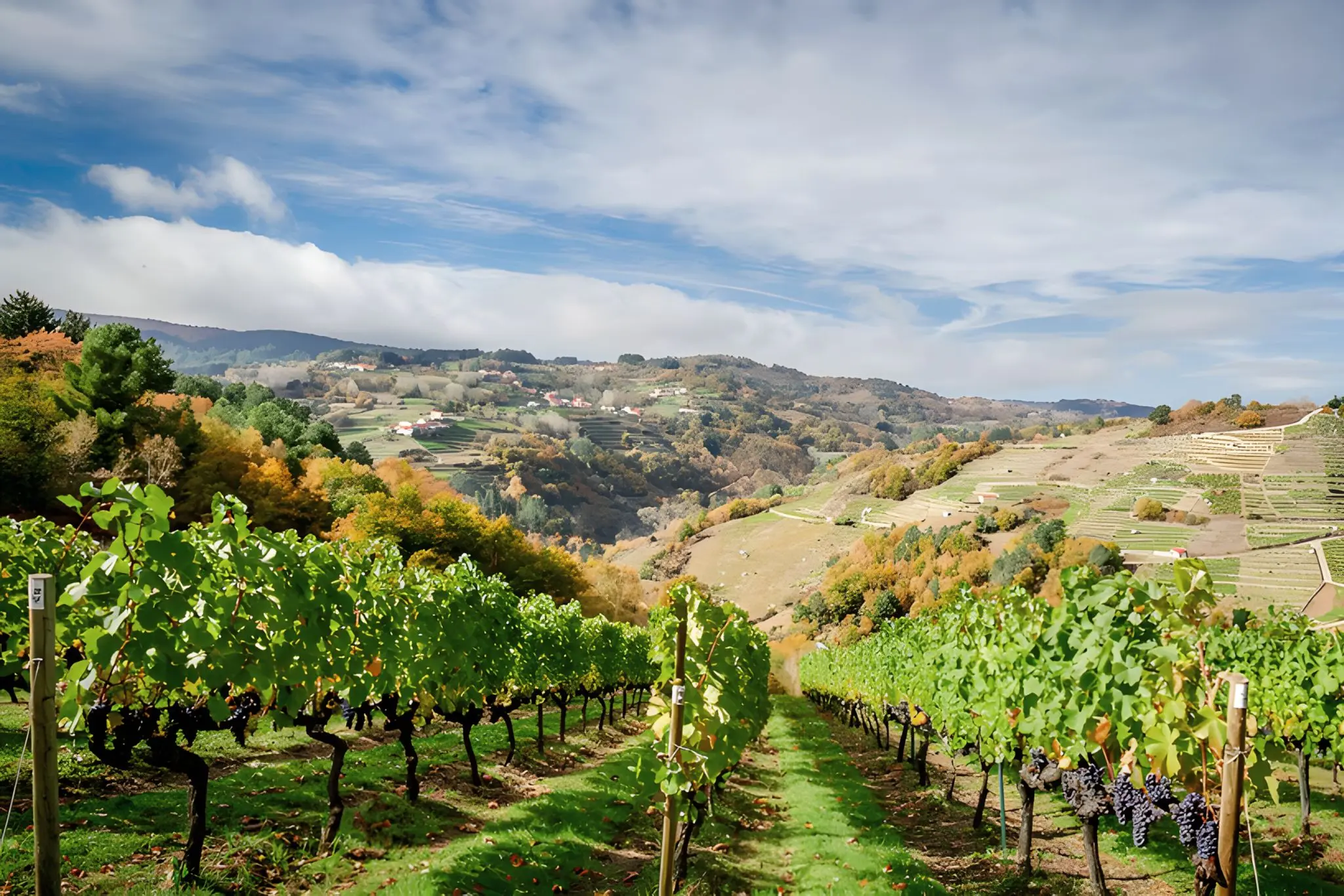
Early on, the path threads through working vineyards — mencía rows on the canyon’s south-facing slopes, the same grape that built the Ribeira Sacra DO and the same labour that keeps it from becoming a museum. The gradient is honest about what it asks of the people working it. Stone walls, narrow passages, vines that follow the contour lines because the contour is non-negotiable.
The villages along the way — Albarán, Areas, Portizó, Hortás — are not curated. Areas has a cluster of small stone constructions that some sources tie tentatively to early hermits who came here before any monastic order arrived, though the evidence is thin and best left in the conditional. What’s certain is that the architecture predates the spectacle: granite, traditional, still in use.
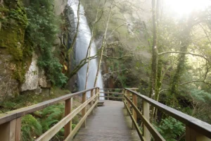
Lower down, after Hortás, the path enters pine woods and shifts character. The Xabrega stream takes over. Restored mills appear along the watercourse — the same mills that ground grain for these hamlets long after the wine economy began absorbing the slope above. By the time you hear the Sil — and you hear it before you see it — the descent has done its work. You arrive at the river the way the water does: from above, having taken the only available route.
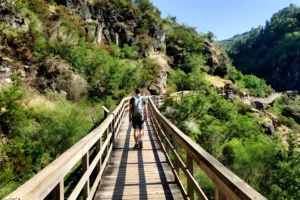
The walk doesn’t bring you back. That’s the first thing to plan around. There are two clean ways through this. The first is to skip the linear PR-G 86 and walk the circular variant from Anllo instead — anchored at the parish church of Santo Estevo, it loops through the Petroglifos de Nogueira, the miradoiros of Xábrega and Os Chancís, and the restored mills of the Xábrega stream before returning to the start. Not the official trail, but it covers most of the same ground and returns you to your car. The second is to walk the linear PR-G 86 as published and arrange a taxi back from Os Chancís through the Sober tourist office; book ahead, the area isn’t taxi-rich. Decide before you set out, not after.
From the Os Chancís jetty, the Sil catamaran is worth considering as a separate matter — heading out along the canyon, typically toward Doade, for the one perspective the walk cannot give: looking up at the slopes you’ve just descended through. It’s not a return; it’s its own thing.
Best in spring or autumn — the light is kinder and the slopes are working at full colour. July and August are doable, but start at first light and finish before the sun is overhead; the upper sections offer no shade.