16.5 km circular · ~6.5 hours · moderate · Start: A Fábrica da Luz (Parada de Sil)
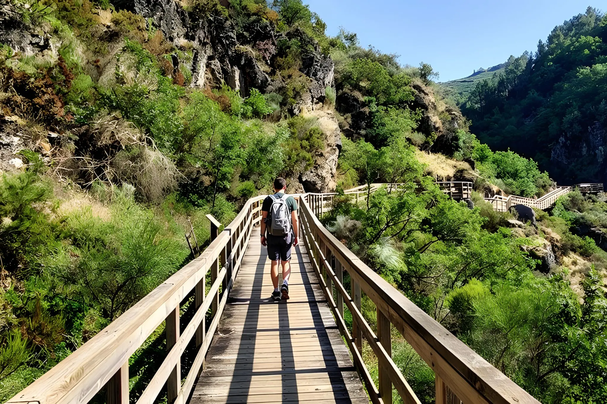
The walkways do their job in the first kilometre. After that the PR-G 177 has fifteen and a half more to go, and the canyon it eventually shows you has very little to do with the wooden boards above the river.
The route begins behind A Fábrica da Luz, an early-twentieth-century hydroelectric plant now repurposed as a hostel. The pasarelas come first — pinned into the rock, more cool air than view, the Mao audible long before it is visible. After the walkways the path leaves the river and climbs steeply through chestnuts. From here the route stops being scenic and becomes structural.
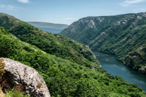
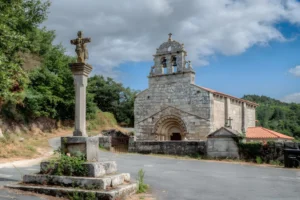
A 300-metre ascent in roughly a kilometre and a half delivers you to San Lourenzo de Barxacova. The village holds the first of the route’s two rock-cut necropolises — anthropomorphic graves carved directly into the granite, in use during the early medieval period. Not displayed, not interpreted. Just there, beside the houses. The path continues climbing toward A Miranda, the route’s high point at around 840 metres, and Forcas, where the San Mamede church anchors a hamlet still working its pastures. At this altitude the canyon stops being the subject. The Sil opens northward; on clear days the eye carries to Lugo, to O Courel, to the Ancares. This is the only point on the route where the Mao reads as a tributary system rather than a self-contained world.
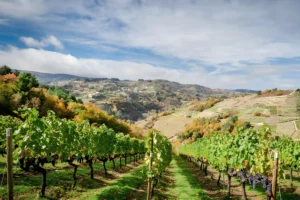
The descent rejoins the Mao at the medieval bridge of Conceliñas, built to connect Montederramo’s monastery to its Sil-side vineyards. From here, the path follows the early-twentieth-century hydroelectric canals — first the new, then the old — past the Cova dos Mouros, where a Bronze Age sword (1500–1200 BC) was recovered during canal construction in 1905. The old canal itself is the most quietly rewarding stretch of the walk: built for water, now carrying foot traffic through cork oak and arbutus. The route closes with the rupestrian necropolis of San Vítor de Barxacova — over fifty graves cut into the rock, ninth and tenth century, with the foundations of a vanished chapel and the remains of the bell forge. From here a final descent passes through the village of Barxacova before returning to A Fábrica da Luz.
The route is homologated by the Federación Galega de Montañismo, with around 990 metres of cumulative climb spread across the loop. Wood and humidity make the walkways slow after rain. Mobile coverage is patchy through the canal sections, so download the GPX in advance. A shorter 12-kilometre loop starting at San Lourenzo de Barxacova skips the steepest gradient and most of the walkways — a fair trade only if knees demand it. Spring and autumn are the kindest seasons; summer is doable if you start early and carry more water than seems necessary.