9.3 km circular · ~3 hours · easy · Start: Campo do Casar, Montederramo
The PR-G 182 walks around one thing, the Bidueiral de Gabín, and shows it to you twice: first from inside the wood, then from outside it, looking back. It is forest track the whole way, with a little over 200 metres of climbing, between roughly 1,190 and 1,350 metres on the north face of the Serra de San Mamede. Nothing on it is difficult, and the waymarks are easy to follow.
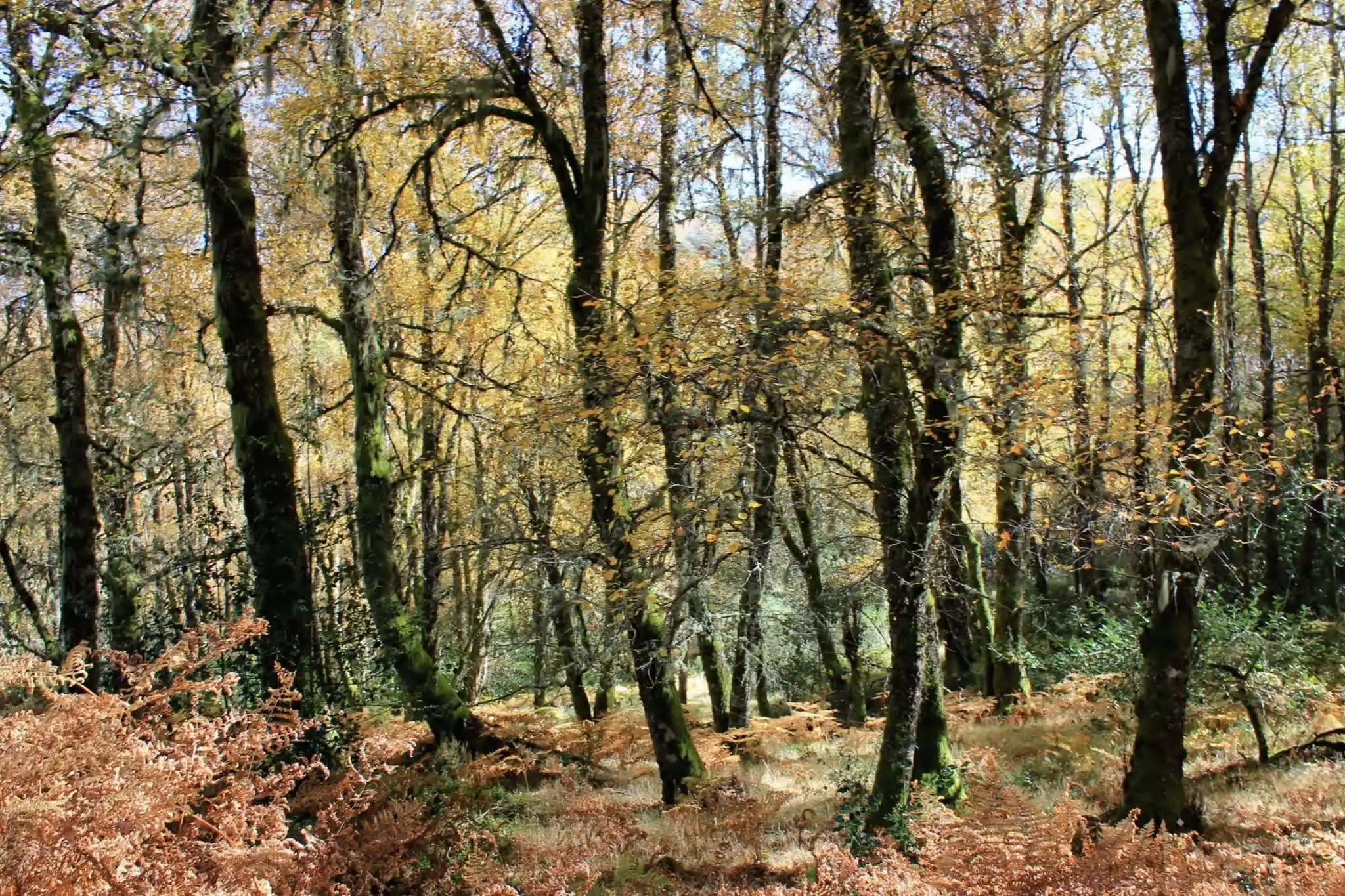
From the car park at Campo do Casar, the first two kilometres run on a broad track between Scots pine and the first birches. Then the route enters the wood and stays there for about two and a half kilometres, passing a stone fountain and trough set into the bank some 500 metres in. In autumn this is the stretch the route exists for. White, lichened birch trunks stand close together, holly dark among them, the ground rust-coloured with dead bracken and the canopy gone to yellow and ochre overhead. The colour comes from every side at once, and so does the sound: birdsong, and leaves coming down. It is a good place to stop: off the track, among the trees, there are natural places to sit and stay a while.
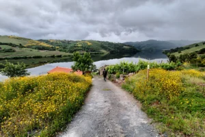
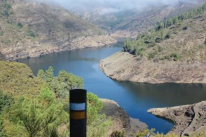
The second half is a different walk. The route comes out onto open ground where heather and broom have taken over and the trees thin out, and this is where the fire shows. According to Copernicus data compiled by the ecologist group Adega, 56.8% of the Bidueiral de Montederramo burned in a single week of August 2025. Under the birches you would hardly guess it. Out here you can: grey stands of dead trunks on the slopes across the valley, gaps in the canopy, the noise of reforestation work. The same openness gives the route its views. The bidueiral appears whole for the first time, a gold mass folded into the hillside under San Mamede, and each bend turns it to show another side. The return is so gentle that the last five kilometres pass almost without notice, and the car park comes up sooner than you expect.
Getting there is the hard part. Most published directions send you from Montederramo through Gabín to A Mogaínza and onto a dirt track from there. We haven’t driven that one. The route we recommend leaves the asphalt just past Gabín, with a right turn towards Fontedoso, then follows about six kilometres of forest track to Campo do Casar. It was in good condition when we drove it, though it is still unpaved, and forestry machinery is part of the traffic while the works continue. Satnavs are best ignored here: some of the roads they suggest are in very bad condition, and frightening in places. The walk sits above 1,200 metres and snow is common in winter, which is the season to leave it alone. There are no services anywhere on it, so bring food and drink; the Montederramo monastery is on the way back.