The oldest thing in Ribeira Sacra is its name, and the name didn’t start on a river.
On 21 August 1124, at Allariz, Teresa of Portugal — with her son, the future first king of Portugal, and Count Fernando Pérez de Traba — granted an abbot called Arnaldo and his Benedictine monks a piece of ground on which to build a monastery. The Latin gives the address: locum qui dicitur Rouoyra Sacrata, qui est in Monte de Ramo, territorio Caldelas. The place called Rovoyra Sacrata, at Montederramo, in the territory of Caldelas.
That is the whole of the medieval record. Not a region, not a valley, not a name anyone living along the Miño would have used for where they were. A holding, with borders, inside a lordship called Caldelas.
Two things complicate it further. The charter gave the monks permission to move if they found somewhere they preferred, and they took it — the first house stood at Seoane Vello, seven kilometres from where the monastery ended up, under the dedication of San Xoán. And the document itself is treated by many researchers as false. In medieval archives that usually means a later redrafting of a real transaction rather than an invented one, and the question has never been closed. The anniversary was marked at the monastery in August 2024 all the same.
The reading came later. Fray Antonio de Yepes transcribed the word as Rivoira, translated it as ribeira, and pointed at the monasteries strung along the Sil. Torquato de Souza Soares went back to the manuscript and found Rovoyra; Manuel Vidán Torreira argued the case again in 1987, in a paper he called El roble sagrado de la Rivoira Sacrata. From robur. An oak wood.
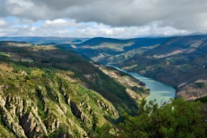
So the canyon inherited a name that belonged to a hillside, from a word read wrong in a document historians still dispute, describing a site the monks had already abandoned. What made it a territory was wine: the appellation of 1996 drew the first modern boundary and the name went to work.
Its birthplace kept the paperwork and very little of the picture.

Montederramo
A hundred and thirty-five people live in the village; six hundred and fifty-nine in the whole concello, spread across thirteen parishes. It sits high, under the Serra de San Mamede, where the Ribeira Sacra runs out and the Queixa–Manzaneda massif begins. There are no cellars here, and no canyon.
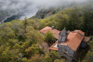
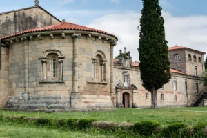
There is the monastery. Benedictine first, Cistercian after — the date of the change is argued over too — and for centuries one of the wealthiest houses in Galicia, until the Mendizábal disentailment sold it off. It has been a protected monument since 1951. The church was begun in 1598 under Juan de Tolosa, a Jesuit architect then also at work on the great hospital at Medina del Campo, and finished in 1607, the year cut into the crest of the facade. The style is Herrerian and the front is flat, grey and severe, with a stone Virgin in the niche. Inside, the retablo mayor is baroque: carved by Mateo de Prado, framed by the Compostelan carvers Bernardo Cabrera and his son Juan.
Two cloisters. The regular one, begun in 1530, is attached to the church — late gothic below, Renaissance above, a star vault and the chapter house, where the monks lived their day. The other went up in 1575 for guests, for the abbot, and for a college of arts and philosophy founded here in 1590; its lower arcade carries medallions of kings, apostles and saints, and it is reached straight from the square rather than through the church front. Book ahead; the tourist office is on the square and the visit is guided.
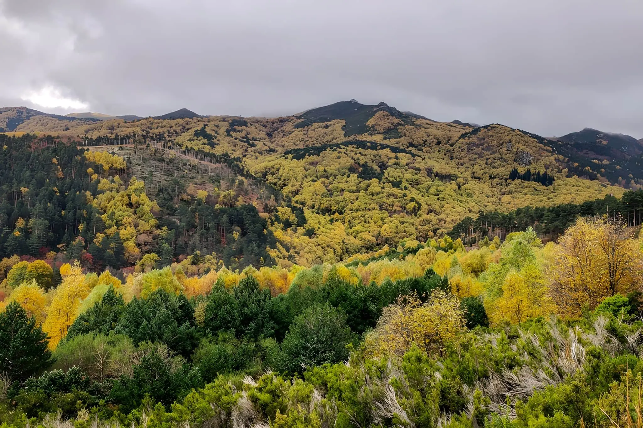
The other reason to come is the forest, up the OU-0602 and then off it onto a track. The Bidueiral de Montederramo is a Natura 2000 site in its own right, just under 2,000 hectares, protected since 1999 and described in the European register as one of the best-preserved birch woods in Galicia — and one of the pockets of eurosiberian vegetation that reaches furthest into mediterranean ground anywhere in the northwest. Birch does well up here for unromantic reasons: above 1,200 metres, cold, and rainfall that can pass 2,000 litres a square metre.
Roughly half of it is open dry heath rather than woodland, and there is oak inside it too, protected under its own heading. The sacred oak grove of the charter was in another part of the concello entirely, so this is coincidence rather than descent — but the oaks are there, on the map, with a code.
Birch was the wood people used: carpentry, farm tools, and clogs, the best of them from Vilariño Frío, a parish of fifty-one souls a few kilometres away. The walk is the PR-G 182, 9.4 km circular, three hours, easy, homologated in 2015. The trailhead is inside the wood and reached by forest track from A Mogaínza, not on foot from the village. The birch woodland is also where Manuel Blanco Romasanta did some of his killing, which is a different article.
Castro Caldelas
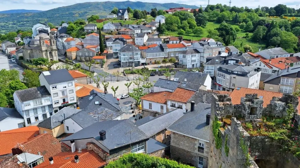
Six hundred and sixty-five people in the town, 1,237 in the concello’s sixteen parishes. Castro Caldelas stands on a hill above the río Edo, where the mountains give way to the Sil, and you see it from a long way out: a castle, a bell tower, a tight ring of roofs.
The castle is why most people stop. Pedro Fernández de Castro began it in 1336, having just been given the town by Alfonso XI, and from here he founded the Casa de Lemos — the family that would run this side of the territory for the next four hundred years. The townspeople pulled part of it down during the Irmandiño uprising of the 1460s, the count made them rebuild it, and by 1560 it had come back as a palace rather than a fortress. The Alba inherited it, the French burned it in 1809, and in the 1990s the family handed the building to the town, which runs it today. Inside: the walls, three towers, the courtyard, and a small ethnographic museum. The clock tower still keeps time on its original machinery.
Castro Caldelas’ other claim is a piece of paper. In 1228 Alfonso IX granted its inhabitants a charter of rights, drawn up in Allariz — the same place that issued the 1124 grant. It is the oldest known text written in Galician in Galicia. The original is in the Alba archive in Madrid; a copy is displayed in the castle’s Torre da Homenaxe.
The old town has been legally protected since 1998, which is why it still holds together: stone houses with white glazed galleries and carved coats of arms, along Rúa do Sol and Rúa Grande, both climbing from the square to the castle gate. The writer Vicente Risco lived in one of them. Since 2018 Castro Caldelas has belonged to the association of the most beautiful villages in Spain — at the time the only Galician member alongside Mondoñedo.
Two dates are worth arranging a trip around. On the night of 19 January, the eve of San Sebastián, the town carries burning straw torches out from the Remedios sanctuary and around the castle, behind a fachón some fifty metres long; the custom is recorded from the eighteenth century. On 8 September the Remedios procession is led by the Irrio Peliqueiro, a masked figure who appears to stand for the lord of the castle collecting what he was owed.
The waymarked walks start in Castro Caldelas itself, which makes them easy to pick up on the day. The Ruta dos Bosques Máxicos drops through the chestnut groves and parish churches below, in a long version and a short one; the Sendeiro do Miradoiro de Matacás climbs to a viewpoint over the Sil. Both cross terraced ground — chestnut above, vines below, cut into the same slope.
The castle keeps hours. The streets don’t, and a good deal of what makes the drive worth it is still outside the walls at seven in the evening, after the last visit has gone.
The Bidueiral in autumn: the north face of San Mamede, Montederramo — photo by Seth, edited with AI.
Santa María de Montederramo, finished in 1607; Castro Caldelas from the castle wall — photos by P. Vanossi.